
Spain
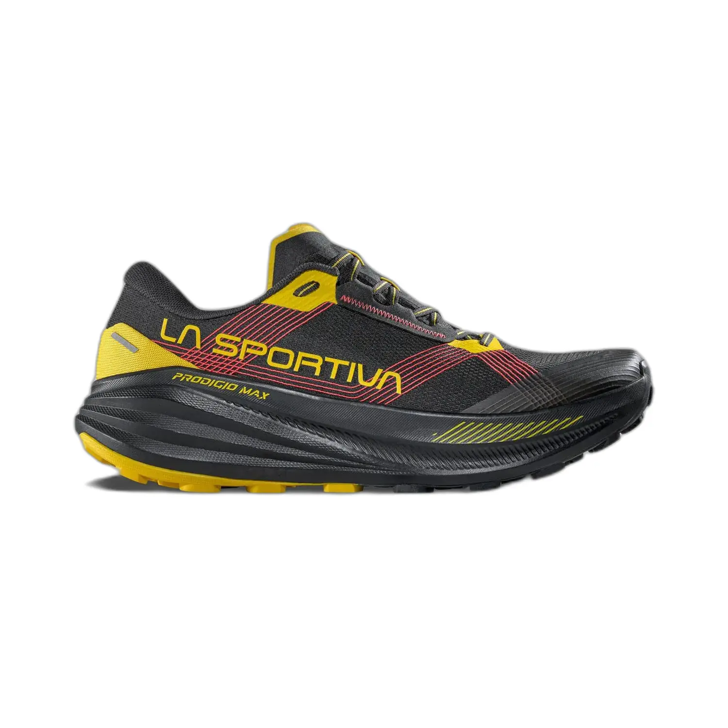
La Sportiva
Expedition
Live journey
Follow the road
Follow the road
as it unfolds.
Public tracking, daily progress, satellite messages and completed route history come together here.
HAVIKWAY is designed to share the expedition publicly without exposing an exact real-time position when doing so could create unnecessary risk.
ROUTE TELEMETRY
PUBLIC OVERVIEW
CURRENT PUBLIC LOCATION
Aalsmeer
04 Oct 2026 · 13:59
START
Amsterdam
DIRECTION
Amsterdam
TODAY
—
ALTITUDE
—
SPEED
—
SOURCE
manual
PRIVACY MODE
2 public points
Exact live position may be delayed, generalized or withheld when safety requires it.
Live modules
Six views of the same journey.
Each module answers a different question: where the expedition is, what happened today, what came through remotely and what has already been completed.
Public tracking model
Visible enough to follow.
Visible enough to follow.
Delayed enough to stay safer.
01
Position received
GPS or satellite data enters the expedition tracking system.
02
Safety filter
Sensitive or unsuitable position data can be delayed or generalized.
03
Public update
A safer public representation becomes visible on HAVIKWAY.
NOW
The current stage.
Today is about immediate progress: current route context, latest status and what happened during the day.
Open today
THEN
The road already walked.
History turns isolated daily positions into a continuous expedition record that can be explored later.
Open route history
Beyond mobile coverage
When the phone network disappears, the expedition should not disappear with it.
Satellite communication can provide short remote updates and an additional communication layer during isolated stages.
Messages may be short and practical. Their purpose is to keep the public record moving when normal connectivity is unavailable.
Read satellite updates
Location privacy
Live does not have to mean exact.
Public tracking should never become more important than personal safety.
Exact coordinates can be delayed, generalized or temporarily withheld. The public can still understand the expedition’s direction and progress without receiving a precise real-time location.
Read the safety approach
Field data principles
What a public live system should prioritize.
01
Safety before immediacy
A short delay is preferable to publishing information that creates unnecessary risk.
02
Context before raw coordinates
Country and route segment can often communicate more than a naked GPS point.
03
History before disappearance
Completed stages should remain available as part of the long-term expedition archive.
04
Honest gaps
No signal should be shown as no signal, not replaced with invented movement.
HAVIKWAY / LIVE
The map shows movement.
The journey is everything between the points.
